GeoSpatial Clustering with GeoPandas and Other Python Packages
GeoPandas and Pandas
- GeoPandas is a geospatial data operations package.
- Like pandas except data frames include classes of geometric objects
- Key in Spacial Processing
MatPlotLib
- Ploting Library for Python
SKLearn
PySAL
- Spatial Analysis Library
- mapclassify - quantiles
- LibPySAL is also used for spacial weights
Examples
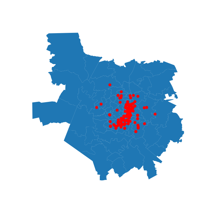
Austin Pet Data
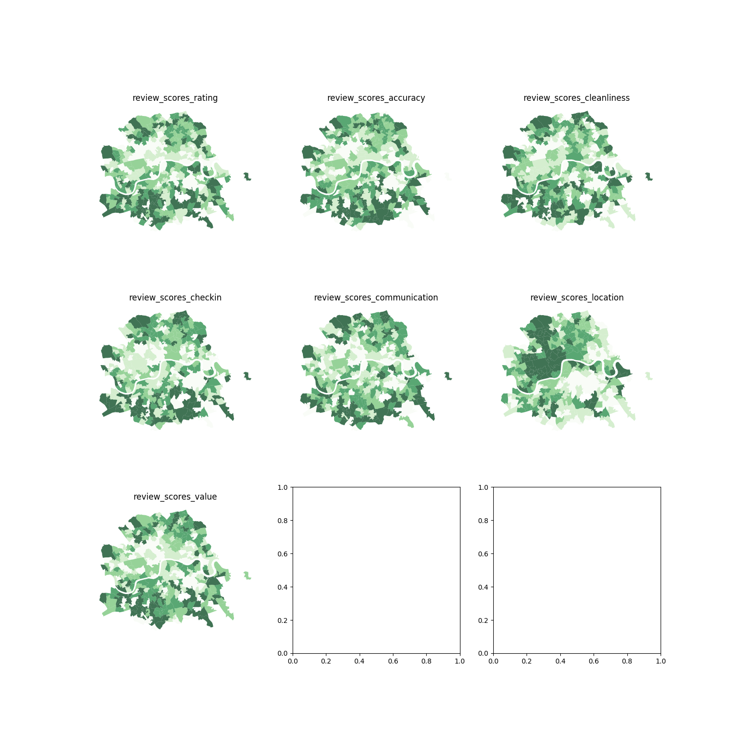
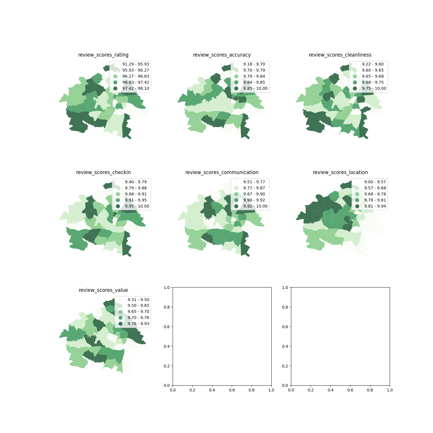
London Air BnB Quantiles Chart
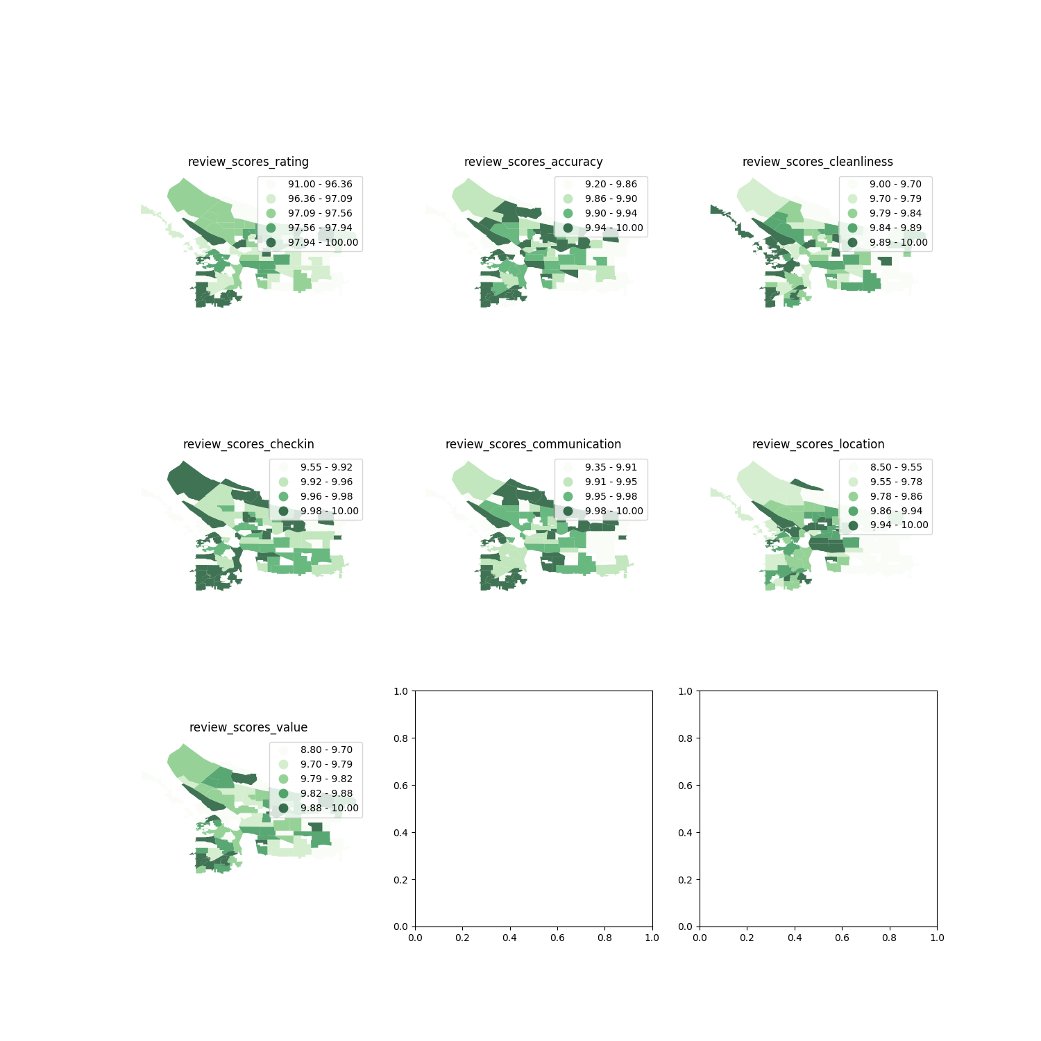
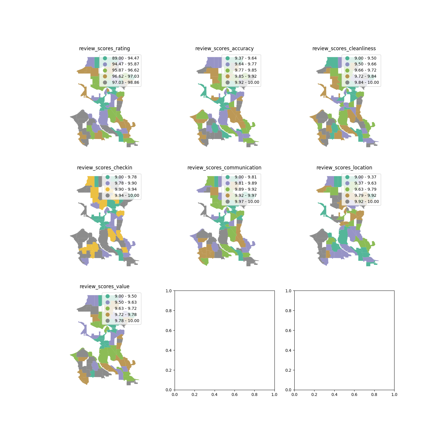
QUANTILES will create attractive maps that place an equal
number of observations in each class: If you have 30 counties
and 6 data classes, you’ll have 5 counties in each class.
The problem with quantiles is that you can end up with
classes that have very different numerical ranges
(ref)
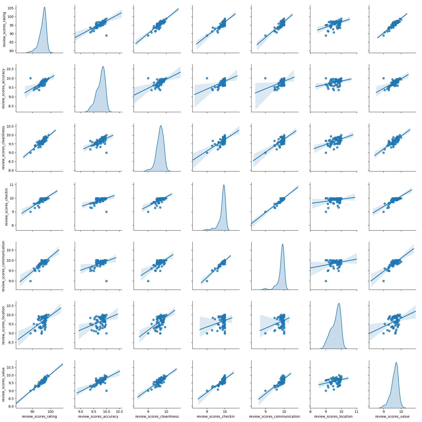
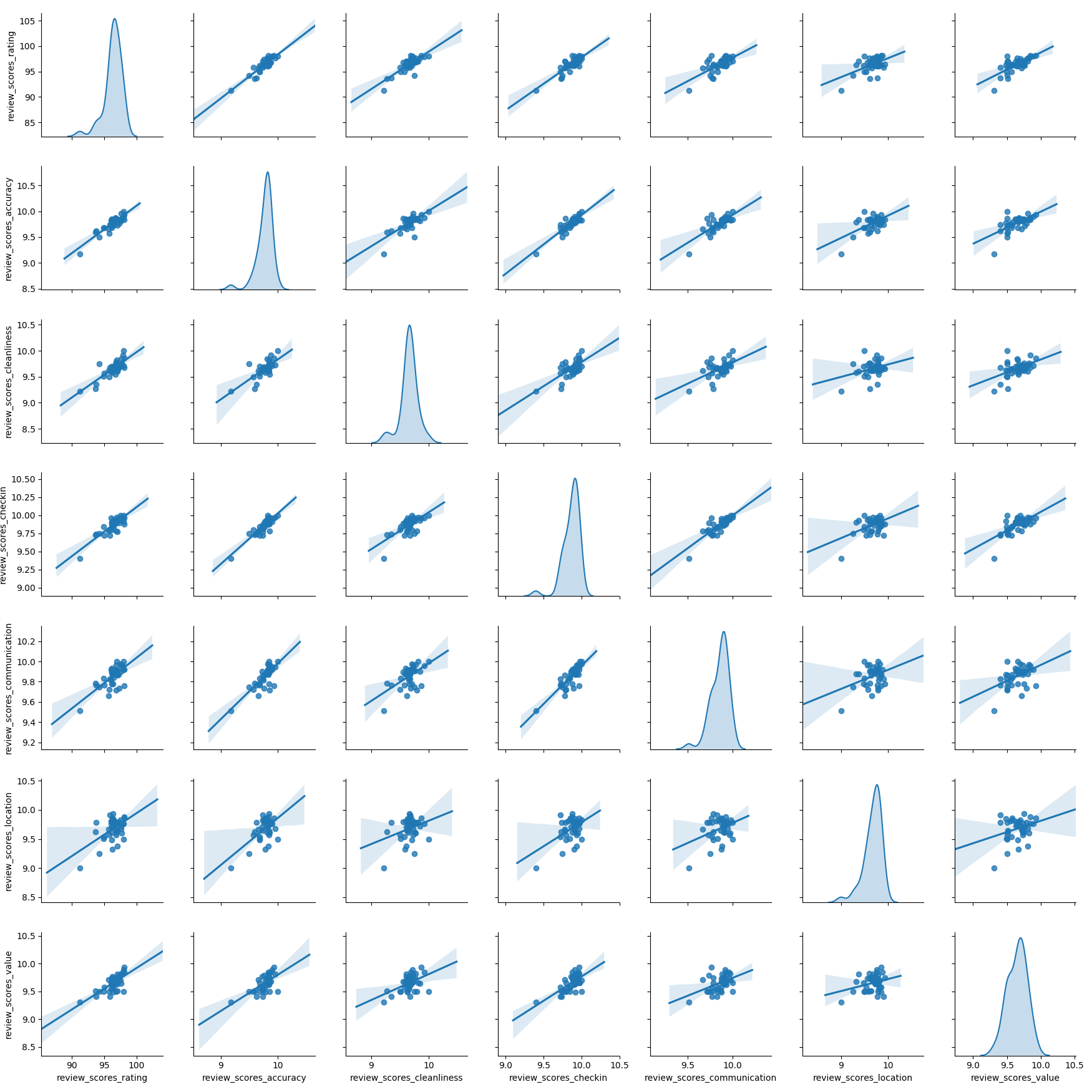
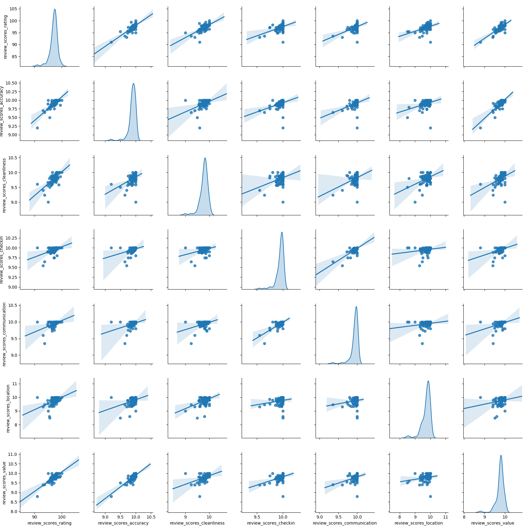
Bivariate Correlation Chart
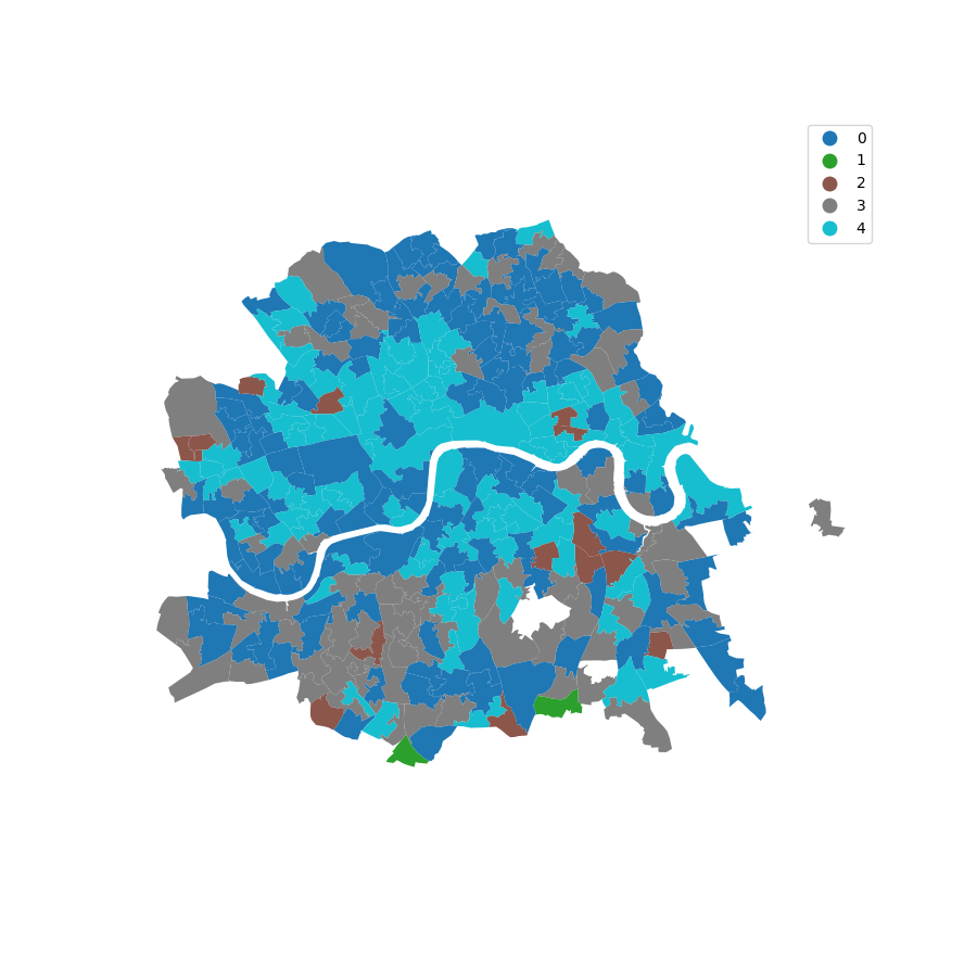
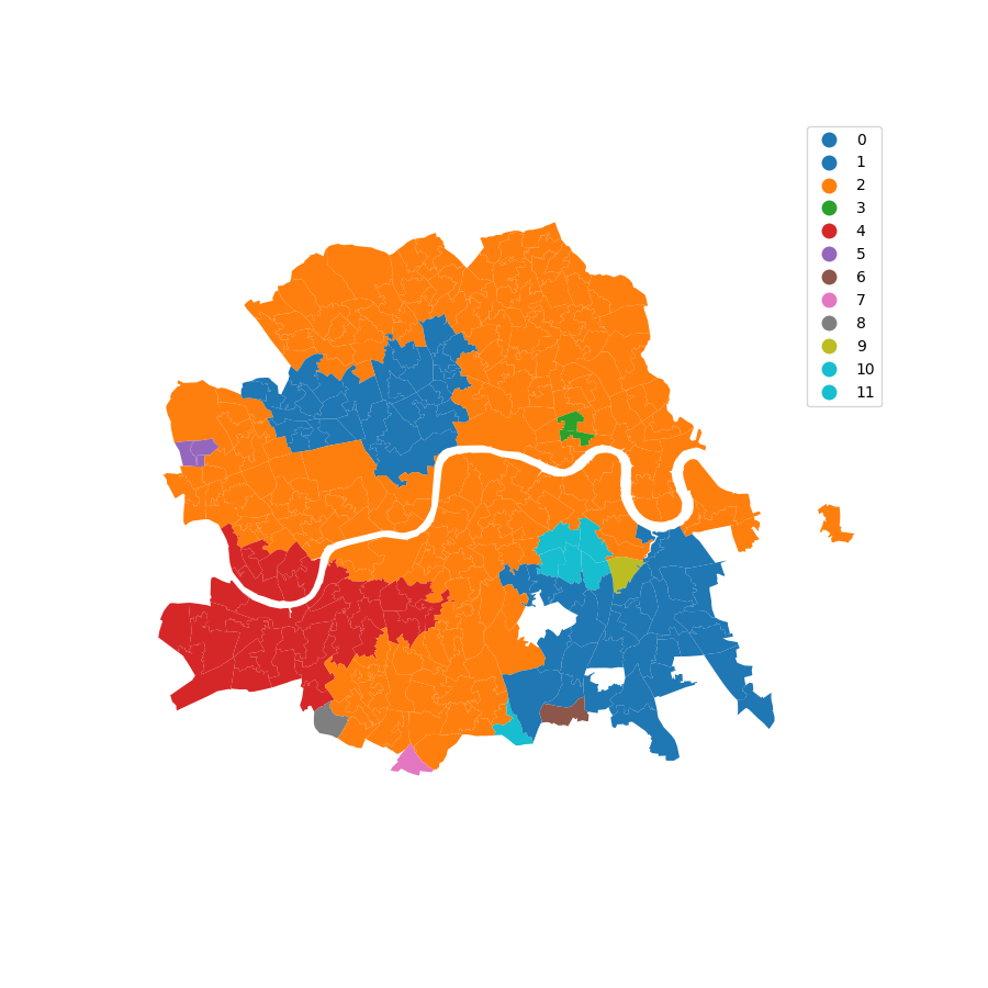
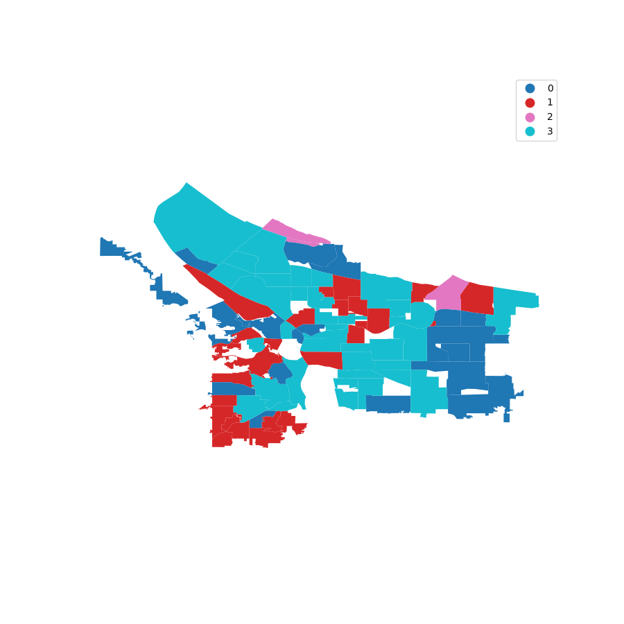
KMeans Classification for Center London
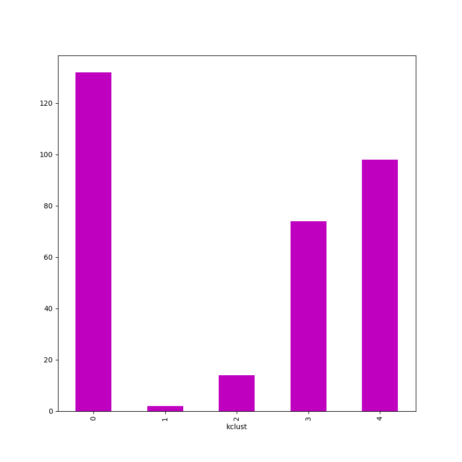
Number of Elements in KMeans Subgroups
AirBnB Spacial KNN SubPolygons For London
Austin Quantiles
Austin Bivariate
Austin KMeans
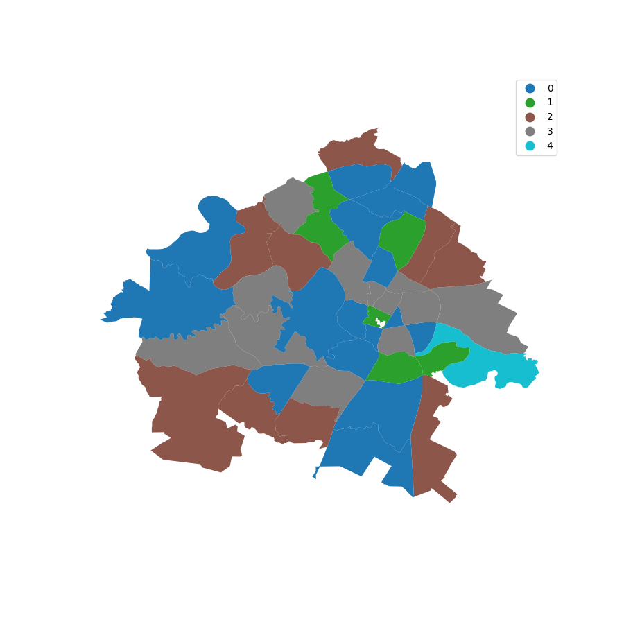
Portland Quantiles
Portland Bivariate
Portland KMeans
Seattle Quantiles
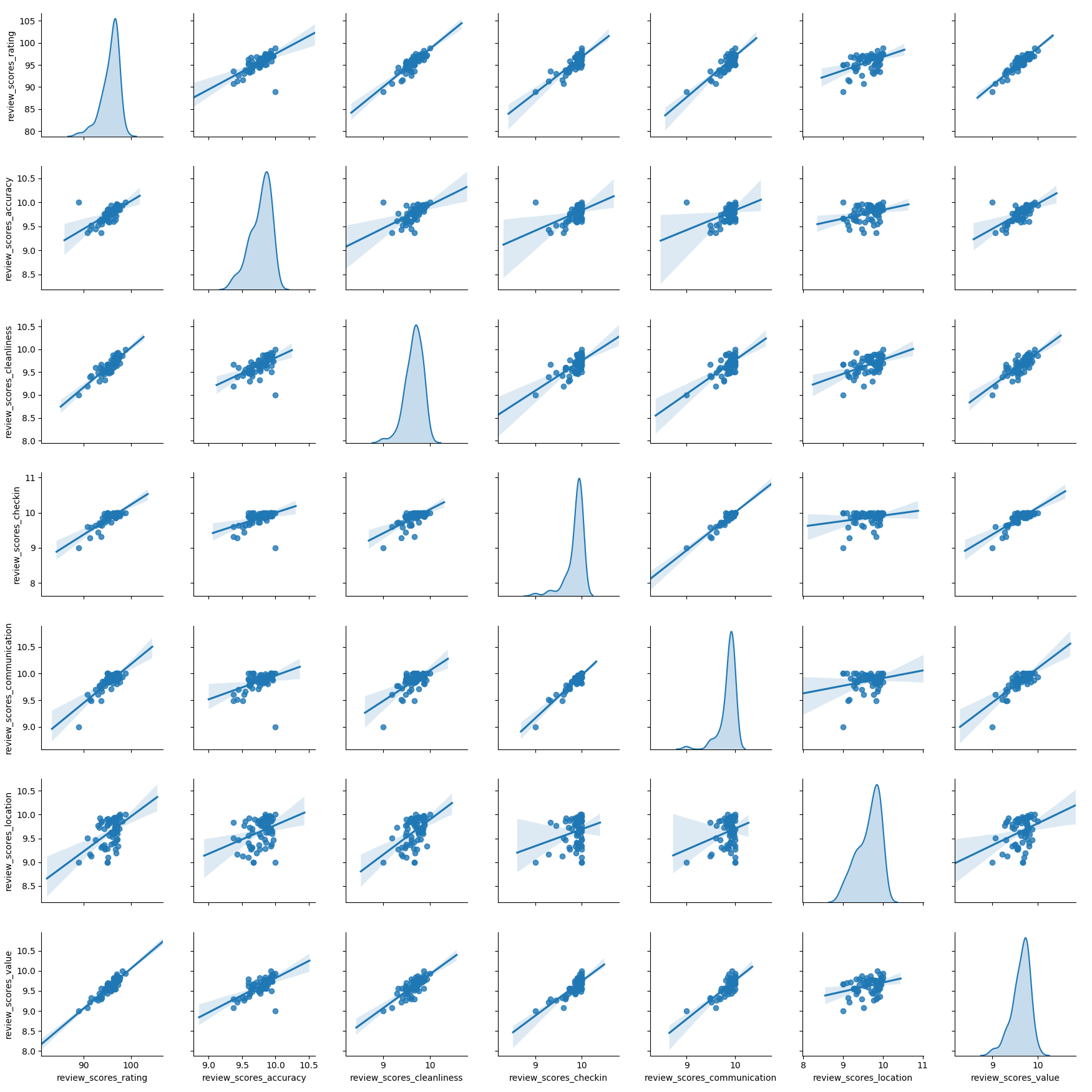
Seattle Bivariate
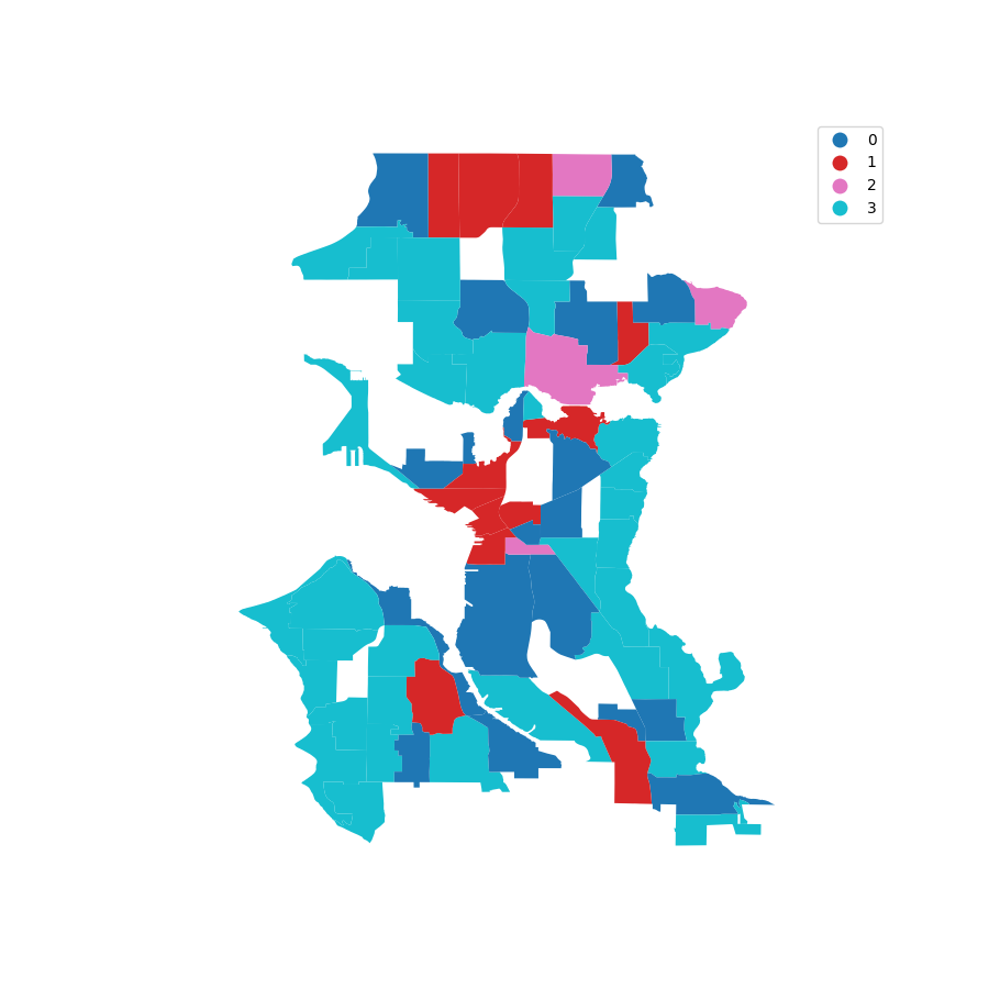
Seattle KMeans
Reflection of Results
- Understand your problem and dataset clearly.
- Focus on what limitations your concept has.
- Spatial Clustering is growing, libaries constantly changing.
- Keep focused on task at hand.


